CaptureModelDigital twinScale
Digital twin services
From first scan to a working digital twin.
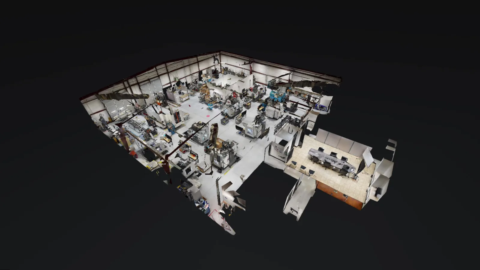
Scroll to follow a building from the first scan to a working digital twin, then out to a whole portfolio.
Scroll 01 · CaptureEvery surface, measured.
Our team and vetted capture partners scan any space with LiDAR, 360°, and drone tools, often within minutes or hours. Or we equip your team to capture it themselves.
- LiDAR
- 360° imagery
- Drone
- Point clouds
02 · ModelScan-to-BIM.
Revit models at the level of detail your project calls for, plus complete as-built drawing sets: floor plans, elevations, sections, and MEP.
03 · Digital twinA model that works.
Tags and overlays, secure cloud sharing on platforms like Matterport for Government, integrations with facility and maintenance tools, and built-in AI that answers questions about your spaces.
- Secure cloud
- Integrations
- AI features
04 · ScaleOne site, or hundreds.
The same program, delivered consistently across a campus, an agency, or an entire commercial portfolio, with training and ongoing support.
- Multi-site programs
- Program support
- Training